
Trekking Routes to Carstensz Pyramid: A Detailed Overview
Climbing Carstensz Pyramid (Puncak Jaya) — the highest peak in Indonesia and one of the Seven Summits of the world — is not just about reaching the summit. The journey to Base Camp itself is a major expedition with long, remote trekking routes through tropical rainforest, rugged highlands, shifting weather, and culturally rich indigenous territories.
1. Ugimba / Sugapa Route (North-East Approach)
One of the most well-known traditional trekking paths starts from Sugapa, a district in Intan Jaya Regency. From Sugapa, climbers walk through dense rainforest and remote highland terrain, typically taking 5–7 days just to reach Base Camp. The path winds through villages such as Ugimba, along rivers with strong currents and over muddy hills with unpredictable weather.
This route is famous for its cultural value — trekkers get deep exposure to local Papuan tribes and pristine biodiversity — but it is physically demanding, often requiring excellent endurance and preparedness for daily rain and steep jungle conditions.
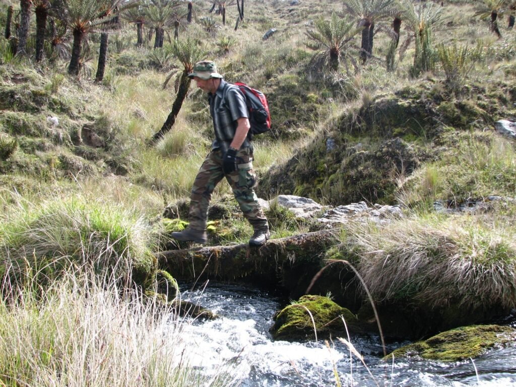
2. Singa / Tsinga (South Carstensz Route)
Another classic route departs from Timika and heads toward Kampung Dolinokogo (Tsinga) on the southern flank of the mountain. This southern corridor is frequently referred to locally as Singa or Tsinga. It allows a connection from the Freeport mining area and offers easier logistical access compared to the interior jungle trails.
While the terrain is still challenging, this route generally involves more open landscapes than the deep jungle of Sugapa, and it’s often chosen by climbers who prefer a slightly faster approach or who already have permits through the Freeport area.
3. Ilaga Route (North Approach)
The Ilaga Route begins from the town of Ilaga in Puncak Regency. Ilaga is usually reached via a small charter flight from Timika or Nabire, which shortens some of the overland travel. From there, trekkers move through jungle and hilly terrain toward notable landmarks like Larson Lake, Blue Lake, and New Zealand Pass, before reaching the Base Camp in the Danau-Danau (Lake-Lakes) area.
This route’s advantage is a slightly shorter approach compared to Sugapa, but the terrain remains grueling and the expedition still takes several days on foot with river crossings, thick vegetation, and variable weather conditions throughout.
4. Zakumba – Endasiga and Other Variant Trails
In addition to the main routes above, local guides and villages also maintain other lesser-used paths, such as those beginning from Zakumba and Endasiga. These trails ultimately converge toward the north and east approaches to the Base Camp. While less documented in mainstream guidebooks, they represent real traditional footpaths used by indigenous communities and experienced operators.
Technical Climb After Base Camp
Regardless of the approach route, once climbers reach Danau-Danau Base Camp — typically around 4,200-4,300 meters — they face a technical climb involving exposed rock faces, fixed ropes, and sections of rock scrambling up to the summit at 4,884 meters. The final push is not technically a “walk-up” but requires rock-climbing skills and comfort with technical alpine terrain.
Regardless of the choice, all traditional trekking approaches to Carstensz Pyramid demand excellent physical fitness, significant time (often two weeks or more total), and a readiness for unpredictable terrain and weather patterns.